Dr Anita Franco
DataCube Service for Copernicus
Project Description
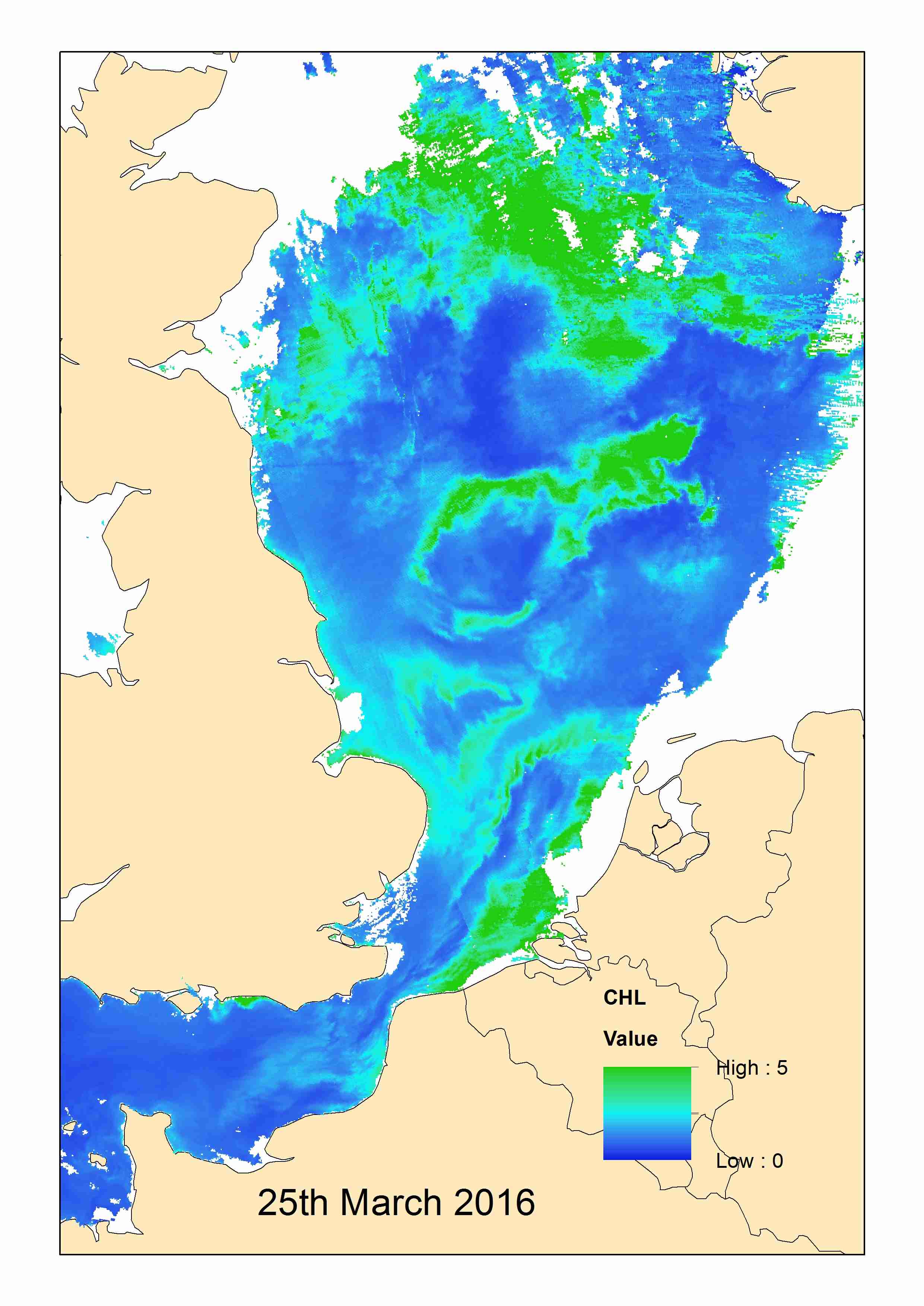
DCS4COP will enable U HULL to build on the previous HIGHROC project and further develop supply chains for satellite earth observation for marine and coastal users. The products arising will be used to build services which can be offered to our existing customers, and to develop new business initiatives.
| Type of Project | Standard |
|---|---|
| Project Acronym | DCS4COP |
| Status | Project Complete |
| Funder(s) | European Commission |
| Value | £200,325.00 |
| Project Dates | Jan 1, 2018 - Dec 31, 2021 |
You might also like

NE-IFCA bait-digging MSc. Jan 1, 2017 - Sep 30, 2018
North-East IFCA have applied for funding from Defra to investigate bait-digging pressure in the region. A one-year studentship with IECS supervision has been proposed.
Evidence based approach to effect of decommissioning on MPA conservation and ecosystem services Feb 1, 2017 - Jan 31, 2018
Building on existing frameworks, we will develop a Decision Steering Document (DSD) which contains a transparent, defendable and more streamlined procedure for identifying and assessing scientific evidence. The DSD will facilitate decision-making for...
Read More about Evidence based approach to effect of decommissioning on MPA conservation and ecosystem services.

Sublittoral rock indicator: spatial correlation between environmental conditions and biological data Jan 1, 2017 - Jun 1, 2018
The Joint Nature Conservation Committee (JNCC) wish to develop and calibrate the ‘morphological diversity of sponge assemblages plus anthozoan species composition and abundance’ indicator for the monitoring of sublittoral rock. Initial analysis of So...
Read More about Sublittoral rock indicator: spatial correlation between environmental conditions and biological data.
Investigation on the origin of the deep mud habitat in Whitsand and Looe Bay MCZ Aug 26, 2016 - Jun 30, 2017
The Whitsand and Looe Bay Marine Conservation Zone (MCZ) was designated, under the Marine and Coastal Access Act (2009) in December 2013, along with 26 other MCZs. Features of Conservation Interest include intertidal rock, a variety of intertidal sof...
Read More about Investigation on the origin of the deep mud habitat in Whitsand and Looe Bay MCZ.

NIRAS - Phase 1 seabirds and their environment May 1, 2017 - Mar 31, 2018
Short initial contract to provide scope for a wider study of seabird distributions in relation to offshore energy activities.

